8/16-19/09
Day Two
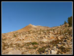
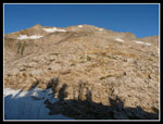
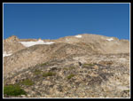
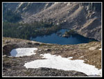
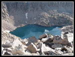
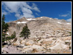
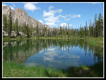
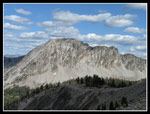
We had a big day planned and we crawled out of the tent at 6:15 am. It was in the upper 30s but the sky was clear. Rather than sit and cook breakfast we opted to have lunch first and breakfast after our Mt. Cramer scramble. By 6:50 we were on our way. Having found the scramble route the night before we had no trouble picking it up again. Too far left the slope above the lake is cliffy. To far right and it's steep. On the small nose of the slope the going is not bad at all. It's just about 2000' from Lake 8733 to the summit at 10,716'. Mt. Cramer is the second highest Sawtooth peak some 35' lower than Thompson Peak.
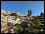
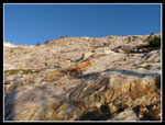
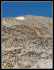
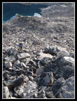
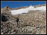
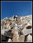
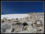
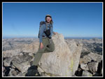
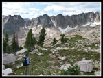
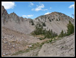
The trail peters out at a grassy ramp heading left. Above that we headed left around granite slabs to another grassy ramp heading right. On the way back we descended the slabs. There are a few cairns to mark the easiest direct route to the ridge above. There is no exposure at all. The ridge drops to a saddle then climbs to just below the summit. It is a mix of some granite slabs down lower and just a jumble of boulders and talus higher up. When the ridge ends we headed straight up the boulders. The main danger is having a boulder shift and pin a foot. Most are very stable. There is a snow patch below the summit and we stayed to the right. In just under two hours we were on the summit.
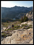
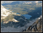
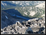
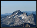
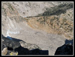
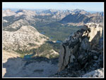
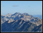
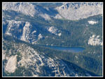
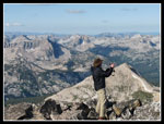
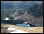
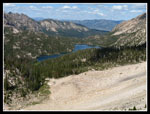
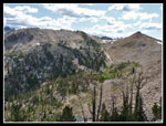
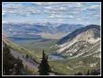
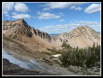
The views are really spectacular. Profile lake is completely barren. It sits on the right side of the final ridge. Lake 8733 was visible part of the way up but not from the summit. The Cramer Lakes, our final night destination, were laid out below. We could see Hidden Lake too. Part of Imogene Lake was seen as well as the trail over the saddle to Edith Lake. We would cross that later in the day. Snowyside Peak was very clear. In fact, there were no clouds at all at 9:00 am. We felt pretty good until we opened the summit register box.
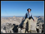
It seems that one year and one day earlier Talia, age 5 and Mattie, age 8 had summited. Well, maybe we weren't so tough after all. I'm amazed how small legs made it up and over all those boulders. We spent the better part of an hour on top. What terrific views. The trip down was not a whole lot faster. The route was steep and rocky enough to keep our speed down. Not fast but easier in the thin air to navigate. The GPS recorded a distance of three miles round trip from the lake.
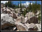
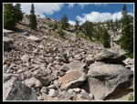
Back at camp we cooked our breakfast and packed up. We dropped to the pond, crossed a creek and climbed back onto the boulders. It was slow going but we picked a pretty good route down to Cooler Lake. Once there we looked and saw... no cooler! Somebody had picked up all that stuff and taken it away. It's still a mystery. At least I have a photo to prove I'm not nuts. We retraced our route on the fisherman's path and climbed back up to Imogene Lake. We found a couple at the lake. The first of half a dozen groups we saw that day.
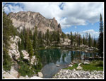
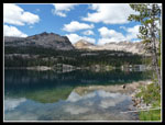
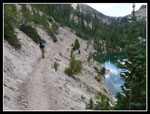
After another break we headed down the lake. The walk along the lake was just over a mile. The trail was blasted in places and crosses bare rock and dirt slopes in some places. Saturday, Sunday, and now Monday the weather pattern was the same. Clear morning then clouds formed. About half the sky cloudy and half clear until clearing again in the evening. This turned out to be a blessing. At the end of Imogene the trail climbs slowly at a 10% grade through the moraine. After 800' of climbing the trail crests the pass at about 9230'. As we climbed a cloud settled over head and dropped the heat by 10 degrees. After a 2000' rocky scramble, the boulder descent from Lake 8733, and the fisherman's path back up to Imogene the cool was a blessing.
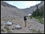
From the pass we could see Edith Lake below. The trail drops to a meadow above the lake then climbs back up to another pass just above 9400'. At the first pass we met two young women coming up from the Edith Lake side. They were glad to be cresting their last pass of the day. The sun came back out and we slowly slogged up to the 9400' pass. A short drop took us to Toxaway Divide or Sand Pass as the sign called it. Neither Gary nor I had hiked the first part of the trail. I was back on familiar trail at the divide.
It was now later than planned to reach this point. We had figured to head down to Edna Lake then by Vernon Lake, over another pass and down to Ardeth Lake. It was nearing 5:00 pm and five more miles seemed to be a lot. We made very good time heading down to Edna. One big group heading to Imogene went by. They started the day at Cramer Lakes. On the Cramer summit we clearly heard a dog barking. We thought someone was near the summit. That group had a dog. I wonder if sound carries up 2400'? We stopped at Edan and discussed camping there. The plan had been to reach Ardeth and then climb Glens Peak in the morning. All the scrambling in the past 24 hours had us doubting we wanted to push hard for more. Still we headed on from Edna.
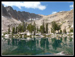
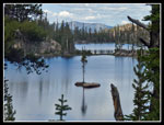
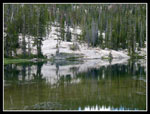
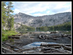
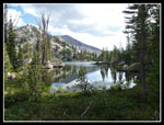
Vernon is another large lake as is Edna. We had a second wind climbing up to the pass between Vernon and Ardeth. At the top we found a small lake. Gary had flown by 29 years earlier but did not recall much about it. At the far end the trail headed down to forested Ardeth which we could see 600' below. Did we really want to get there at dark? Hike and scramble another 14 miles the next day? Not really. We set up camp near a granite peninsula jutting out into the lake. This was another spectacular place. The lake is at 8866'. Granite abounds.
For the day we hiked about 13 miles with 4000' of gain.
<< Photo Page >>
Sawtooth Traverse Report
Home
