1-25-14
I
joined Janet, Gwen, and Karen on a winter trip up Bandera Mountain. My
website is nearing 12 years old. Karen and her husband David have a
hiking site nearly as old as mine. We have conversed online and at
hiking socials but had never hiked together. The fact they live in
Canada had a little to do with it. We remedied that situation this day.
Their site is David
and Karen's Hiking Page. We met
at the Ira Spring trailhead at 9:05 am. There were already nearly a
dozen cars in the lot. It was cold but not freezing. By 10:20 am we
were on the trail. It was one more sunny January day in the Cascade
Mountains. With the lack of snow so far this year we did not bring
snowshoes even for a nearly 5200' summit. With the ice seen recently we
did bring microspikes and crampons. It seemed very much like spring.
bare trail and blue sky. As we ascended the temperature climbed
noticeably. The near total lack of wind made it feel even warmer.
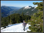
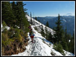
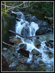
There was more water in Mason Creek than I was expecting. I slipped on very wet rocks and logs on the way in. On the way back it was much easier to rock hop. We reached the end of the old road and still no snow. A little farther along there were a few small snow patches. Mostly it was just bare trail. Part way up the long switchback to the left we did start to encounter snow. It was packed down by many boots, frozen, and very slick. Where we left forest and the grade steepened we stopped to put on microspikes. This was at nearly 4000'. Last summer's dead beargrass stalks are still standing. Lots of bare rocks as the trail crossed the talus field. A thin snow cover in most places. We were now above the forest and it was getting comfortably warm in the sunshine. We were passed or passed by a number of groups. most of them headed to Mason Lake. We stopped at the Bandera summit trail junction.
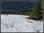
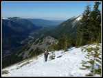
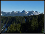
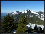
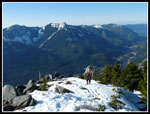
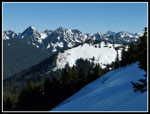
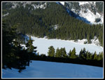
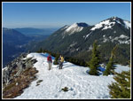
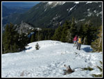
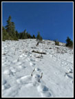
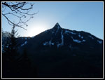
Much of the slope above was bare. The most consistent snow was in the trail trench. With microspikes our footing was pretty good. We made slow steady progress up this steepest section. The views were great and I stopped often to look behind us. McClellan Butte is just south. Mt. Kent on one side and Mt. Washington on the other. Mt. Rainier was well above the ridge. Just as the grade moderated near the upper ridge the hard packed snow became much harder. The spikes grabbed well enough those I could hardly dent the ice with a kick. From the ridge we could see north to Kaleetan Peak and down to Mason Lake. The lake was frozen though barely. Janet and Gwen put on crampons for the rest of the climb to the summit.
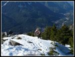
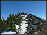
The open ridge quickly goes back into forest. There were a few spots here where bare trail showed through. Amazing for late January. The upper boulder fields were completely snow covered. Not thickly but covered. As hard as the snow was we did very little post holing. We soon mete a group heading down. They confirmed that nobody was on the west summit. The rest of the way was just walking up the spine of the ridge on hard snow. Great views in all directions. Just the way I like it. There was a light breeze when we reached the top. I pulled by sleeves back down and added a jacket. Even with the breeze it was a balmy 55 degrees.
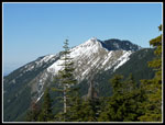
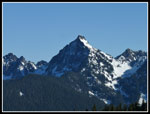
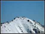
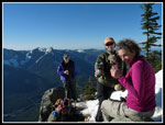
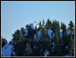
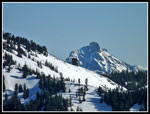
Soon we were all on top. It was about 12:30 pm and time for lunch. One of our friends passed away in a climbing accident just a week before. Part of the reason for this hike was to honor and remember him. We had a toast to Franklin on the summit. Hard to imagine better conditions for a summit hike in January. From the top I could see Granite Mountain. My zoom lens found three hikers next to the lookout. Hibox Mountain was framed by surrounding ridges. The whole Cascade Crest to the north from Chikamin Peak on was in sight. Mt. Defiance and Putrid Pete's Peak were in sight much of the way up. With such nice conditions we spent nearly an hour on the summit. Looking over to the true summit of Bandera I saw a hiker on top. We chose not to head that way. At about 1:20 pm we headed down. We chose to put on crampons before leaving.
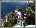
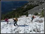
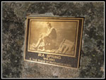
There were a few particularly hard spots where the extra traction was appreciated. Below the ridge the snow was much softer now. In trees it was still rock hard. We began to see a number of groups heading up. Many had on just trail runners. Going down the icy sections would have been no fun at all. With crampons we just walked right on down. We lost the route up as another route had many more footprints. It dropped down to the right (west) of the summer trail. It brought us back to the Ira Spring Trail higher and west of the junction. We chose to head over to the Ira Spring monument. It was so warm there that we all zipped off our pant legs and went with shorts the rest of the day. We had another long break sitting on the rocks as it was so pleasant. The views didn't hurt either.
At long last we headed down. We wore microspikes back to the point where we had first put them on. The ice had softened quite a bit but the spikes were still helpful. More groups were coming up though the stream began to wane. As we dropped down below about 2600' it began to cool markedly. Back at the trailhead it was long sleeves weather. The lot was mostly full. There were open spots but also a few cars parked just outside the lot. Quite a crowd for winter.
This was an outstanding trip. Good company, great weather, and terrific views. Hopefully winter will begin soon and I can get on to snowshoe and ski trips. Until then, it will be hiking to summits as if it were spring or fall.
Trips - 2014
Home


