9-20-14
Cascade
Pass and Sahale Arm is one
of the most scenic hikes in the state. Somehow I managed to let 19
years and 1 week slip by since my last visit. Highway 530 was still a
few days from being fully repaired from the big landslide. One way
traffic with a pilot car. I chose to head in via Highway 20. The drive
takes nearly three hours from North Seattle so I was on the road by
6:00 am. From Marblemount there is 10 miles of pavement and 13 miles of
dirt road. The road was in excellent shape. My sedan had no trouble.
Very few potholes. I arrived at the 3640' parking lot at 8:40 am to
find... a whole lot of cars. Early Saturday morning in late September
and one open parking spot in the first half of the lot? By 8:50 am I
was on the trail.
The trail is very gently graded. Many switchbacks climb the slope then a long traverse heads over to the pass. The switchbacks are in forest. This would be an unseasonably warm day but cool in the forest. No problem with heat in the morning. I started with shorts and a long sleeve shirt. A Mountaineers group started ahead of me and half way up I started passing them. I managed to pass eleven hikers by the time I reached Cascade Pass. I felt like I was hiking back in time in the forest. I saw blooming bleeding hearts, yellow violets, and marsh marigolds. Not many but these spring flowers should not be blooming in late September.
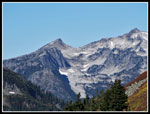
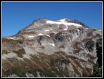
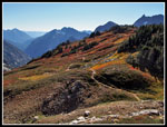
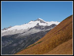
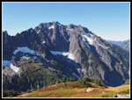
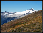
The gentle grade allowed for a fast pace without overheating. A short way up I had an open view of the snowfields and glaciers on Johannesburg Mountain right across the valley. After that it was dark forest. The final traverse leaves forest and views open up. Down the valley Hidden Lake Peak comes into view. My zoom verified it as I was able to see the lookout. The low morning sun lit up the leaves up the slope and ahead near the pass. Later I had a look out to Eldorado Peak. All the color meant photos and I slowed down a lot the last quarter mile. There was a little breeze nearing the pass. The forecast had upped the wind to 10-15 mph with gusts to 21 in the morning. I arrived at Cascade Pass to find a very cold wind.
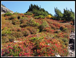
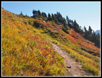
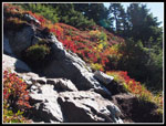
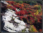
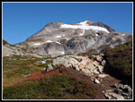
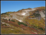
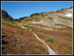
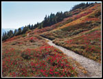
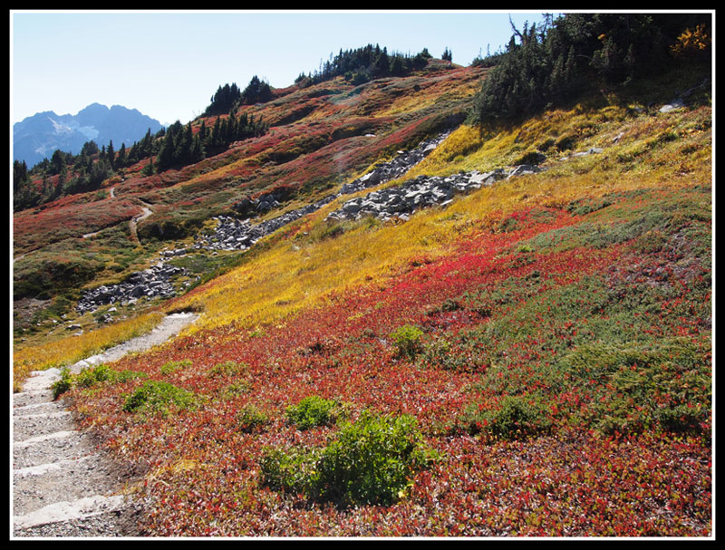
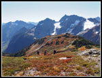
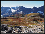
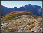
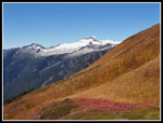
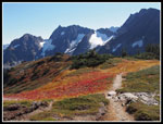
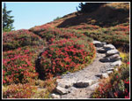
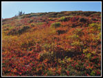
I only stayed at the pass for a few minutes and headed up Sahale Arm. There has been considerable trail work on this section. Tools are still in place. Looks like they are still at work on weekdays. The lower section has been widened. One section is being moved upslope. It sure seemed wider and much less of a trench than my 19 year old memories. The colors on this slope were spectacular. Reds, yellows, and golds everywhere. There were a few berries left. Some were already past prime. More very slow progress as the views were terrific. Fall colors and the icy peaks. I saw a couple hikers above me but none coming up.
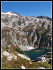
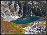
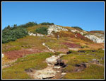
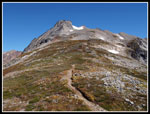
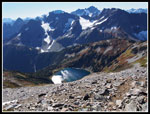
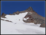
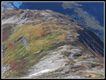
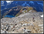
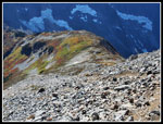
I reached the crest of Sahale Arm and that fantastic view up to Sahale Peak. It seemed to be a long way above me. I could see the base of the glacier where I was headed. There was a tent set up on the ridge top. There is no camping on the ridge. Perhaps they were just drying it out. It was gone on my way back. There were hikers much of the way along the arm. There was also more amazing leaf color. Dull in one direction but completely ablaze when backlit. The color was great behind me. That meant a lot of turning around for photos. In several places I had views down to Doubtful Lake. Nice color there too.
The wind was light but steady and increased as I ascended. The trail turned right and headed for Sahale Peak. It went around to the west side. When it came back to the ridge top the wind was now howling. I cinched the velcro on my hat, nearly cutting off blood to my brain, and the hat still felt ready to fly away. I had to stop. Ate some food, zipped on pant legs and my hooded jacket. the hood kept the hat in place. The day was warming up but the wind was cold. At about 6500' on the ridge the views were spectacular. At one point I had Eldorado and Mt. Baker in view to the left. It was the only time I saw Baker all day.
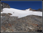
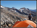
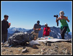
As the arm climbed higher the wind seemed to decrease. The grassy ground ended and the route turned much steeper as it climbed largely through a boulder and talus field. I had to stop and take off the jacket. I kept expecting the wind to start roaring again but it never did. Now much more comfortable I continued up the rocky route. One hiker passed me with just a few hundred feet to go. Not long after I reached the highpoint on the rock pile where half a dozen folks were sitting. A couple on their honeymoon had the campsite there. The Sahale Glacier seemed a lot higher above us than I recalled almost two decades earlier. I saw one party heading up the glacier.
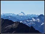
We were at 7600'. The summit is 1150' higher. right below us was Doubtful Lake. I could see all of Sahale Arm. To the south were a sea of peaks. The tip of Glacier Peak stood above the Ptarmigan Traverse peaks. The big glacier on Sloan Peak stood out. Mt. Pugh was clearly visible. Just the top half of White Chuck Mountain was visible. To the east were Horseshoe, Buckner, and various other peaks. There are very few peaks I reach that are higher than this 7600' spot. One of the guys in the group brought a watermelon up. A 4000' climb, why not bring a watermelon? He graciously offered a slice to me and the camping couple. A nice unexpected perk.
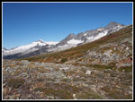
I arrived at 12:45 pm and stayed until 1:30 pm. Heading down I passed a number of folks heading up the last steeper rocky section. One of them was John Porter. I have run into him at least 4 or 5 times in the mountains now. The second time this year. He and his friend were heading up to camp and climb Sahale and peaks above Horseshoe Basin. The wind picked up again on the ridge top but it was nowhere near as hard as on my ascent. Back on the lower arm the backlit color was upslope. It was still very vibrant. So much color. I dropped off the arm and headed back to Cascade Pass at 2:30 pm. Several more groups were still coming up.
I dropped below Cascade Pass and had good lighting for shots of peaks down the valley. Once in the trees the camera was put away. The gentle trail made for a fast descent. By 4:20 pm I was back at my car. Fortunately I did not get stuck behind slow traffic on the 23 miles back to Highway 20. I went home via Darrington and had only a few minute wait on the one lane section of Highway 530. A whole lot of dirt has been moved since I drove through soon after the road was first reopened.
This was an exceptional trip. I expected crowds and was not disappointed. Still, it was not that bad. Great mountain scenery from the parking lot up. On one of the last days of summer the fall color was tremendous. It is a long day with more than 5.5 hours of driving but well worth it. Not a hike to wait 19 years to repeat.
Click on thumbnails to get
larger pictures.
Trips - 2014
Home
The trail is very gently graded. Many switchbacks climb the slope then a long traverse heads over to the pass. The switchbacks are in forest. This would be an unseasonably warm day but cool in the forest. No problem with heat in the morning. I started with shorts and a long sleeve shirt. A Mountaineers group started ahead of me and half way up I started passing them. I managed to pass eleven hikers by the time I reached Cascade Pass. I felt like I was hiking back in time in the forest. I saw blooming bleeding hearts, yellow violets, and marsh marigolds. Not many but these spring flowers should not be blooming in late September.
The gentle grade allowed for a fast pace without overheating. A short way up I had an open view of the snowfields and glaciers on Johannesburg Mountain right across the valley. After that it was dark forest. The final traverse leaves forest and views open up. Down the valley Hidden Lake Peak comes into view. My zoom verified it as I was able to see the lookout. The low morning sun lit up the leaves up the slope and ahead near the pass. Later I had a look out to Eldorado Peak. All the color meant photos and I slowed down a lot the last quarter mile. There was a little breeze nearing the pass. The forecast had upped the wind to 10-15 mph with gusts to 21 in the morning. I arrived at Cascade Pass to find a very cold wind.
I only stayed at the pass for a few minutes and headed up Sahale Arm. There has been considerable trail work on this section. Tools are still in place. Looks like they are still at work on weekdays. The lower section has been widened. One section is being moved upslope. It sure seemed wider and much less of a trench than my 19 year old memories. The colors on this slope were spectacular. Reds, yellows, and golds everywhere. There were a few berries left. Some were already past prime. More very slow progress as the views were terrific. Fall colors and the icy peaks. I saw a couple hikers above me but none coming up.
I reached the crest of Sahale Arm and that fantastic view up to Sahale Peak. It seemed to be a long way above me. I could see the base of the glacier where I was headed. There was a tent set up on the ridge top. There is no camping on the ridge. Perhaps they were just drying it out. It was gone on my way back. There were hikers much of the way along the arm. There was also more amazing leaf color. Dull in one direction but completely ablaze when backlit. The color was great behind me. That meant a lot of turning around for photos. In several places I had views down to Doubtful Lake. Nice color there too.
The wind was light but steady and increased as I ascended. The trail turned right and headed for Sahale Peak. It went around to the west side. When it came back to the ridge top the wind was now howling. I cinched the velcro on my hat, nearly cutting off blood to my brain, and the hat still felt ready to fly away. I had to stop. Ate some food, zipped on pant legs and my hooded jacket. the hood kept the hat in place. The day was warming up but the wind was cold. At about 6500' on the ridge the views were spectacular. At one point I had Eldorado and Mt. Baker in view to the left. It was the only time I saw Baker all day.
As the arm climbed higher the wind seemed to decrease. The grassy ground ended and the route turned much steeper as it climbed largely through a boulder and talus field. I had to stop and take off the jacket. I kept expecting the wind to start roaring again but it never did. Now much more comfortable I continued up the rocky route. One hiker passed me with just a few hundred feet to go. Not long after I reached the highpoint on the rock pile where half a dozen folks were sitting. A couple on their honeymoon had the campsite there. The Sahale Glacier seemed a lot higher above us than I recalled almost two decades earlier. I saw one party heading up the glacier.
We were at 7600'. The summit is 1150' higher. right below us was Doubtful Lake. I could see all of Sahale Arm. To the south were a sea of peaks. The tip of Glacier Peak stood above the Ptarmigan Traverse peaks. The big glacier on Sloan Peak stood out. Mt. Pugh was clearly visible. Just the top half of White Chuck Mountain was visible. To the east were Horseshoe, Buckner, and various other peaks. There are very few peaks I reach that are higher than this 7600' spot. One of the guys in the group brought a watermelon up. A 4000' climb, why not bring a watermelon? He graciously offered a slice to me and the camping couple. A nice unexpected perk.
I arrived at 12:45 pm and stayed until 1:30 pm. Heading down I passed a number of folks heading up the last steeper rocky section. One of them was John Porter. I have run into him at least 4 or 5 times in the mountains now. The second time this year. He and his friend were heading up to camp and climb Sahale and peaks above Horseshoe Basin. The wind picked up again on the ridge top but it was nowhere near as hard as on my ascent. Back on the lower arm the backlit color was upslope. It was still very vibrant. So much color. I dropped off the arm and headed back to Cascade Pass at 2:30 pm. Several more groups were still coming up.
I dropped below Cascade Pass and had good lighting for shots of peaks down the valley. Once in the trees the camera was put away. The gentle trail made for a fast descent. By 4:20 pm I was back at my car. Fortunately I did not get stuck behind slow traffic on the 23 miles back to Highway 20. I went home via Darrington and had only a few minute wait on the one lane section of Highway 530. A whole lot of dirt has been moved since I drove through soon after the road was first reopened.
This was an exceptional trip. I expected crowds and was not disappointed. Still, it was not that bad. Great mountain scenery from the parking lot up. On one of the last days of summer the fall color was tremendous. It is a long day with more than 5.5 hours of driving but well worth it. Not a hike to wait 19 years to repeat.
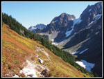 Descending Off Arm |
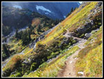 Colors Above Pass |
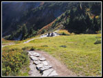 Folks At Pass |
 Trailhead Sign |
Trips - 2014
Home


