Day 2
We
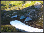
crawled out of our tents at about 7:00 am. John's thermometer read 45
degrees in his tent. It was a bit chilly. For day two we planned to day
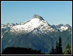
hike to Lake Byrne and back. On the summit of Point 6343 the previous
evening we could look down to the spot where the trail crosses over the
ridge to the north side. That is where we knew there was some snow on
the trail. We could see several patches on what appeared to be a very
steep slope. That would be the crux spot for the day. We passed one
person on the first day. He summited Glacier Peak then descended to the
Whitechuck River and came up to Lake Byrne and out Lost Creek Ridge. He
mentioned that the snow was soft in the afternoon sun and he had no
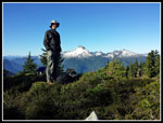
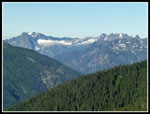
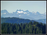
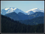
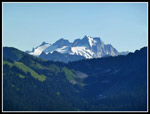
problem. We would be hitting it in the morning. Great morning views
over breakfast. By 8:15 we were packed up and on the trail.
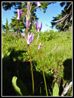
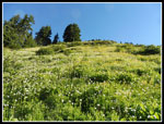
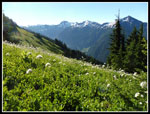
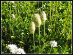
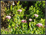
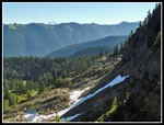
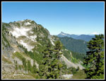
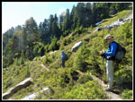
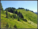
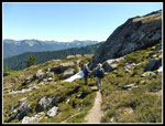
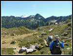
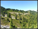
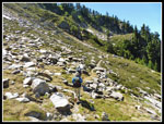
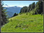
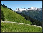
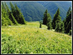
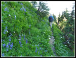
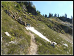
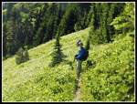
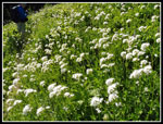
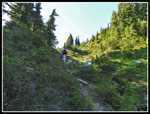
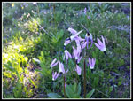
The route started with a descent along and in a small creek. We saw shooting stars in bloom. After the drop the route climbed and fell in some forest and on more open slopes covered with more wildflowers. We were convinced that if snow stopped us from reaching the east end of the ridge we still would have had a great trip with the flowers and views. The trail is narrow and overgrown along much of this section. In most spots a slip would not be a problem. In some spots a slip would be catastrophic. There are some very steep and long drops. The ridge drops off of Point 6343 and eventually came down to our level. We reached the ridge top with a good view north but no trail over to the north side. The route drops and climbs and reaches the ridge top again. Here is where we dropped down to the north.
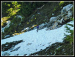
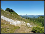
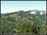
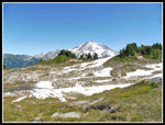
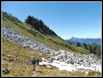
We could see a women and dog on one of the snow patches. She was going very slowly but getting across. We quickly dropped down a few switchbacks and met the lone woman with a dog. She had gone all the way in to above Camp Lake on Friday and was coming out on Saturday. Two long days of hiking. She mentioned that the snow was hard but not too icy. We could cross or try going below it. We crossed the first patch and dropped below the next one. We quickly found the trail once again. The snow proved to not be a big problem. Now the route dropped down to the north then turned south east and crossed another basin on the way to getting back to Lost Creek Ridge. It is very "sub alpine" along there and much of the rest of the way with grassy meadows, big rocks, and boulder fields. The last few steps to the ridge top are very narrow with a big drop. Short but one of my least favorite spots.
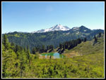
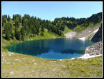
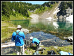
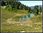
The trail reached the ridge in forest and climbed up from a saddle. We had more flowers on the south side and then crossed over to the north side. Now we were in more open grassy meadows. More ups and downs and at last Hardtack Lake came into view. On his 2007 trip Gary and Mark camped at Hardtack Lake for two nights. The trail passed by the lake though we did not drop down to the shore. We rounded a bend and saw another ridge across the valley. Our route went to the end of the valley around and climbed up that ridge. The day was rapidly warming and getting pretty hot. It was 11:15 am when we passed Hardtack Lake. We soon met a couple hiking out. The third and fourth people seen in a day and a half. No, it was not crowded.
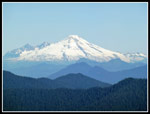
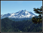
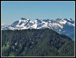
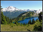
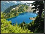
The route climbed the slope and crossed over the ridge above Camp Lake. Hardtack is a smaller lake in a grassy basin. Camp Lake is in a steep walled basin with snow around and above it. A much more dramatic setting. It was 12:10 pm. We discussed whether to stop, go onto the ridge above Lake Byrne, or climb up to the ridge then drop down another 500' to Byrne. The consensus was to climb up to the ridge and then decide about Byrne. It was getting very warm and there was not a lot of shade. The climb out of the basin of Camp Lake went quickly. Next we dropped to "Little Siberia". It is a slabby moraine with some snow still in it. On the other side we left the trail and climbed to the ridge above Lake Byrne. Great views from there. Glacier Peak is right in your face. The lake is right below. Snowy peaks are all around the lake. Really a terrific viewpoint. We stopped for lunch.
After eating we headed a little farther north along the ridge for some different views of Lake Byrne. I would not have minded spending a few more hours there. Unfortunately, we still had almost five miles with 2000' of elevation gain to get back to camp. We did spend from 12:40 to 1:35 enjoying the views. At least one party was visible down at Lake Byrne. We hiked back to Camp Lake and pumped water for the return trip. Our campsite and Camp Lake are both at about 5800' meaning we still had half the day's elevation gain to go. On the way back between the lakes we met a couple hiking in. They were the last of six folks seen in two days. Climbing several thousand feet in the open hot sun was not much fun. The scenery made up for it. We finally slogged our way back to camp at about 5:30 pm.
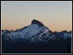
This evening we had no desire for any more after dinner scrambles. Another great sunset and we were once again in bed at 9:00 pm. This night we had no condensation on our tents when we crawled inside. The numbers for day two are a bit deceptive. We hiked only 9.5 miles with 3470' of gain. the narrow overgrown trail made it much more work than the numbers indicate. We were plenty tired at the end of the day.
<< Day >>
Lost Creek Ridge Report
Home
