I reached Fred's Railroad and turned right. I hiked to Shy Bear Pass and then up to the summit of Wilderness Peak. There were a few spits of rain but not enough to pull out the umbrella. I retraced my steps back to Fred's Railroad and down to the East Fork Trail. This took me to Jerry's Duck Pond and on to the Clay Pit Road right before the Clay Pit. I walked into the Clay Pit a short way and took a photo of where Tiger Mountain lies. It was completely lost in the clouds this morning. One other person was there. I had not seen many folks so far. I headed onto the trail to Anti-Aircraft Peak. The trail drops down to the crossing of Tibbetts Creek. Most of the year the creek is dry here near the headwaters. There is a good flow running now. I continued on, climbing up to Anti-Aircraft Peak.
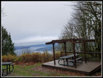
I hiked to the Million Dollar View then on to the first roofed picnic shelter. I arrived at 12:18 pm. I took 2:23 to hike 6.6 miles. Now I just needed to figure out a path back that would get me up to 10 miles. I had a quick lunch and continued on. I climbed up to the high point of AA Peak to reach the Lost Beagle Trail. A short drop intersected the LB trail where I turned right. This route drops down to the Klondike Swamp Trail. I then followed the Klondike Swamp Trail out to the Clay Pit Road. I crossed over to Fred's Railroad and turned right leading to the Cave Hole Trail. I followed my route in on the way back with one small change. When I reached the big meadow, I headed across the meadow and checked my gps app. I was still a third of a mile short of finishing at 10 miles. No problem, I was in a big flat grassy meadow. I headed back across the end of the meadow then back to the far end. Two more laps later I continued down.
I went by the Sky Country parking lot and down the trail. I saw only a couple more folks on the way down. I reached my car at 1:50 pm. I traveled 10.3 miles in 3:55. I just had the one 6 minute lunch stop. Otherwise, I was on the move the whole way. I hoped for some dry time on a wet day and ended up with a few spits of rain on a dry day. So much the better. This day did not have views or a lake or an open summit. What it did have was a whole lot of leaves on the ground, 10 miles of well graded trail, and not a lot of other people. It was also a good way to burn off some of the calories consumed at Thanksgiving. A nice long hike and I was home by 2:30 pm. Black Friday has been a hiking day not a shopping day for me.
 Military Road |
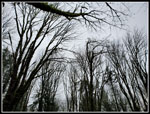 Gray Sky No Leaves |
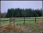 Big Meadow |
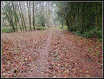
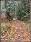 Leaves Galore |
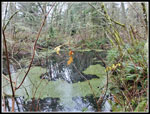
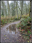 Reflecting Puddle |
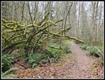
 Mossy Trees |
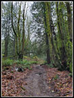
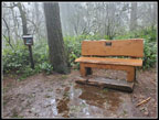 Wilderness Peak |
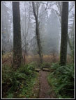 Dark & Misty |
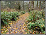
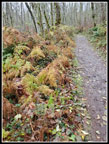 Colorful Ferns |
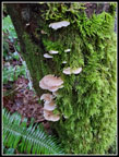 Mushrooms |
 Jerry's Duck Pond |
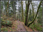
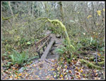
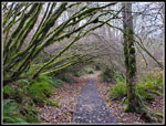
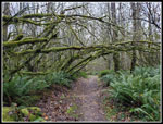 Mossy Arbors |
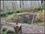 Mine Shaft |
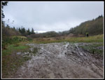 Clay Pit |
 Tibbetts Creek |
 AA Peak View |
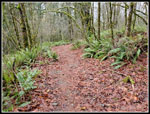
 Leaves Galore |
 Klondike Arbor |
 More Moss |
 Yellow Road |
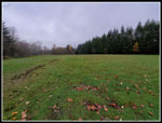 Back At Meadow |
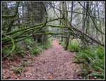 Another Arbor |
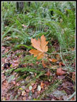 Suspended Leaf |
 Almost Done |
Trips - 2021
Home