03-30-25
Gary
and John were free for a hike. We chose to head north to near
Bellingham for the trip. We had all done hikes here previously. Last
year on the same date, Gary and I added a new trail section that
allowed us to do two loops in a figure eight pattern that ended back at
the trailhead. This is an unusual hike as we parked at the highest
point of the trip and started heading down and returned with a
different uphill route. The morning was supposed to be partly sunny
with clouds increasing all day. We went in the direction that took us
to the best viewpoint early in the day. We met in Lynnwood and I drove
us north. We took Chuckanut Drive from I-5 to HiLine Road. The gate at
the Two Dollar Trailhead opens at 8:00 am until April 1, when it will
open at 6:30 am. We arrived at 7:45 to find the gate still locked. Ten
minutes later a truck arrived and the gate was opened. We reached the
1830' Cyrus Gates Overlook parking lot at 8:04 am. It was 37 degrees
and foggy on Chuckanut Drive and 43F and in the clear at the trailhead.
There were clouds but they were very high. We took some photos and were
on our way at 8:10 am.
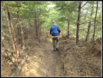
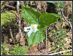
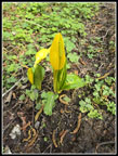
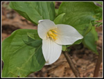
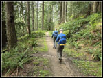
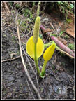
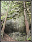
Our route took us into the forest and we quickly reached the top of the Rock Trail. There are a lot of steep steps heading downhill. Pictures have never done it justice so I took a 2.5 minute video of the descent. The Rock Trail goes alongside giant sandstone rocks which are quite unusual for Western Washington. Add in ferns and moss on many of the fallen boulders the trail winds through and it is very scenic. I can count on a lot of photos before we reach the bottom of the trail. This day was no different. We also saw some blooming skunk cabbage. There were not a lot of wildflowers out this early but we did see some along the route. At the bottom of the trail we went right on the South Lost Lake Trail. This section would be one only one we would repeat on our figure eight track. We passed a small waterfall and Gary noticed twin trillium in bloom. This section is all uphill. At the next junction we went left heading for the Mt. Baker Viewpoint and Burnout Knob.
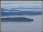
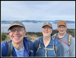
First we turned left to the Viewpoint. Though there were high clouds, we had a very nice look at Mt. Baker and the Twin Sisters. Just as we reached the viewpoint, a bald eagle took off from a rock just below. It was gone before we could get our cameras out. This is also the point where the trail to Lost Lake begins. Lake Samish was below and other peaks were in sight too. After a short break we went back and turned left on the route we came in on. This quickly brought us to Burnout Knob. The sky was mostly white and there was fog below. To the west and north the water was open but to the south and southwest fog sat over the water and land. It made for some interesting scenery. The Olympic Mountains were mostly in the clear. We took a long break here. We arrived at 9:40 am and stayed until 10:22 am. At first we were alone but a few bikers were seen later and a couple with three Jack Russell Terriers showed up. It seemed like just a few minutes later, the fog partly disappeared. The views were far different from just a little earlier.
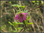
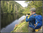
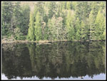
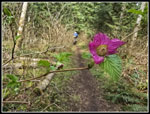
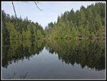
We finally headed on. We retraced our steps to the Mt. Baker viewpoint for a few more photos then it was time for the steep descent into the valley below. This is a bike trail and in places the tread was just a narrow tire rut. It was hard to walk down that. It was also wet. Some rocks were slick and farther down water ran across and down the trail. It was pretty muddy in spots. We were careful and nobody slipped and fell. We did see more skunk cabbage in the moist mire. On our first trip Gary and I took a short detour to a pond/small lake. We took John there on this trip. We saw some salmonberry flowers there. Back on the main route it leveled off and began to climb a little as we headed for Lost Lake. Nearing the lake the trail climbs a narrow ridge which drops steeply on both sides. Soon the water come into view. More ups and downs brought us to the outlet on the side of the lake. We saw a few groups just before the outlet. The best lunch spot on a flat rock above the lake is just a little further. We went there to find a really big group. We headed back to the outlet.
That was another good spot for a break. There was a little sunshine and it was now much warmer. We arrived at 11:52 am. Right on time for lunch. After a nice long break we went up to the flat rock spot and it was empty. Time for some photos and more break. It was 12:32 when we started moving. The route goes around the end of the lake and up to the South Lost Lake Trail. We passed more blooming skunk cabbage at the end of the lake. We turned left on the SLL Trail heading for the bottom of the Rock Trail. There was a lot more skunk cabbage on this section that will start blooming in a week or so. When we reached the bottom of the Rock Trail we closed the first loop. Now we repeated the uphill section. This and from Burnout Knob to the Mt. Baker viewpoint were the only parts we repeated. At the next junction we turned right remaining on the South Lost Lake Trail. It was late enough that we had a little sun west of and below Cyrus Gates Overlook. There will be a lot of wildflowers in a few weeks here.
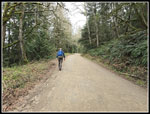
The trail ends up at the road/trail near Fragrance Lake. We turned right and in a few minutes turned left for the short walk to Fragrance Lake. Last year, we turned around at the lake. This time we did a counterclockwise loop around the lake. We did see several groups at the lake. After the lake we headed back to the road/trail. A left turn put us back on the route up to Cleator Road. It is a steady uphill grind. Most of our trips go uphill at first and finish with a long downhill. This day was the opposite. After 9 miles we were heading uphill all the way to the trailhead. I was glad to reach Cleator Road. Now we had a steep road to climb. Several cars passed us on the road. We reached the trailhead at Cyrus Gates Overlook at 2:56 pm. We still had some good views from the overlook though it was more hazy than in the morning.
We made the most of the day spending almost seven hours on the trail. It was not all hiking. The viewpoints and lakes made for good spots for some long breaks. It was cool in the morning but warmed up nicely. The expected very cloudy afternoon was cloudy but so thin that the sun shone through warming us up. For the day we hiked 10.25 miles with 2300' of elevation gain. This trip was not a hike to a destination. The trail was the destination. Forest, views, sandstone rocks, moss and ferns, lakes, viewpoints of mountains and islands. This trip has it all. There are a number of hikes south of Bellingham that I enjoy. This one is right at the top. We had a surprisingly easy drive home to top off the day. I expect to get back here regularly in the future.
Trips - 2025
Home


