05-23-26
For
the first day of Memorial Day
Weekend, I chose a hike with lots of elevation gain. The month started
very slowly with only 700' of gain after two hikes. A trip up Mt. Si
via the Teneriffe Road would be 10 miles with 3300' of gain. I wanted
to get an early start and I was on the road at 7:07 am. I stopped in
Issaquah for gas and arrived at the trailhead at 8:07 am. On April
hikes up Mt. Teneriffe, the parking lot was mostly empty at 8:00 am.
Not this time. The lot was about 65% full. I was expecting a few clouds
but it was totally socked in. My phone had a major software update and
my GPS was not working. The app opened but had no satellite signals.
That never happened before. After messing around and restarting the
phone it did not work. So much for a track this day. I started up the
trail at 8:12 am. I passed a group on the connector trail to the old
Teneriffe Road. I turned left onto the road. In a few minutes I reached
the junction with the Teneriffe Falls trail. I went left again. Most
hikers go right to the falls or Mt. Teneriffe. The Connector Trail is
.50 miles. The next mile is pretty flat. Early on I saw thimbleberry
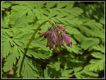
flowers along with buttercups and bleeding hearts. At 1.5 miles the
road starts
climbing and does not let up. The start of the climb had me already
overheating. I stopped to switch to a short sleeve shirt and zip off
my pants legs. It was only in the low 50s but the humidity was off the
charts. I was sweating hard and none of it was evaporating.
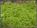
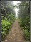
The humidity slowed me down. I kept up a steady pace. I tried my GPS again. I found that the update turned off location service. I changed that and I went from zero to 16 satellites in sight. The GPS still did not work. I restarted the phone and that did nothing. I put it away again. A little later I took it out again and shut down the app again and restarted it. This time it worked. I had a track after hiking about 2.4 miles. I was soon in the cloud layer. That only made it more humid. I passed by the Teneriffe Falls Connector Trail and headed for the long steep traverses. The trail seemed a bit rockier than I recalled. It was. I found out why a little later. I did notice some recent brush cutting. None of it as moved off the trail. At the end of a leftward traverse I reached a bench. There is not much of a view normally but it was zero through the clouds. I did take a quick food and water break. I had one more traverse to the right and then back left for the long traverse. Right after the turn is a spot where I can see Mt. Rainier and Rattlesnake Ledge. The trees will soon be tall enough to remove the view. This day all I saw were clouds. The trade steepens and finally flattens. There are two small creeks that were both still running. Along here, I saw one of the biggest yellow violet patches of the year.
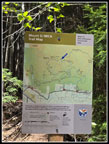
From there it is just a few short switchbacks to the Mt. Si trail junction at the 4.2 mile mark. I turned left towards Si. Now I could see a tread line on one side of the trail. A lesser one was on the other side. Some small Bobcat sized piece of heavy equipment came through cutting the brush. There was more of it on the narrower Connector Trail. By now, I had seen a hiker and several groups of runners coming down. It seems that nobody had removed any of the cut branches. On my way down I took the time to remove most of them from the trail. It looked like nobody had moved any of them since they were cut. I reached the highest point and then dropped down into Haystack Basin. My first view was of the Haystack. Recent news was of a rescue and a fatality at the top. Now I was out in the open and the sky was mostly blue. While crossing the basin I saw a lot of blooming phlox. I reached the North Ben Overlook to find nobody thee. To the south on the rocky point there was a group of hikers. Below, I could see nothing but the top of the cloud layer. There was a light breeze but the sunshine made it comfortable. I arrived at the overlook at 10:30 am. I hiked 5 miles in 2:18 gaining about 3200'. It was not bad considering the conditions.
It was really nice on top. A person came and went but other than the distant group, I had a lot of solitude on Mt. Si. There was not much to be seen other than the top of the clouds. One set of towers went in and out of sight. I think it was on Tiger Mountain. There were no tall buildings above the clouds. The Olympic Mountains were not visible either. The top of the clouds looked to be at about 2700' to 2900'. I was in no hurry to get back down into the pea soup so I just enjoyed the top. I finally packed up and headed down at 11:13 am. I had a good 43 minute stay on top. I climbed back out of the basin to the highest point and began the long 3200' descent. I spent time moving a few dozen small branches off the trail. My knee is still a little sore and the rocky parts of the route were challenging. The smoother section were great. The wind was still zero in the forest and the humidity picked up again. I saw more people going down but it as never crowded.
The last 1.5 miles saw more hikers going up and down. When I reached the lower Teneriffe Falls junction I picked up several more groups heading down. I picked up the pace and reached the car at 1:21 pm. The sky was now half clear and half clouds. It was in the lower 60s. The lot was now about as crowded as when I started out. A group was waiting for the Trailhead Direct bus to arrive. I was soon on my way home. Traffic on the first day of the holiday weekend was not bad at all driving home. This was a great way to start the weekend. I ended up high enough to get into the sunshine. My route to very popular summit was not crowded and even Haystack Basin was mostly empty. I enjoy sunny days looking down to the cloud tops. There were still some wildflowers in bloom. So far this year I had only had 3000'+ of gain three times. It was nice to have more elevation gain. The 10 mile route via the Teneriffe Road is 2 miles longer than the regular Mt. Si trail. I needed a big weekend to bring a very slow start to May up to at least an average month. I felt good and so did my knee after a tougher hike to start the weekend.
Click on thumbnails to get
larger pictures.
Trips - 2026
Home
The humidity slowed me down. I kept up a steady pace. I tried my GPS again. I found that the update turned off location service. I changed that and I went from zero to 16 satellites in sight. The GPS still did not work. I restarted the phone and that did nothing. I put it away again. A little later I took it out again and shut down the app again and restarted it. This time it worked. I had a track after hiking about 2.4 miles. I was soon in the cloud layer. That only made it more humid. I passed by the Teneriffe Falls Connector Trail and headed for the long steep traverses. The trail seemed a bit rockier than I recalled. It was. I found out why a little later. I did notice some recent brush cutting. None of it as moved off the trail. At the end of a leftward traverse I reached a bench. There is not much of a view normally but it was zero through the clouds. I did take a quick food and water break. I had one more traverse to the right and then back left for the long traverse. Right after the turn is a spot where I can see Mt. Rainier and Rattlesnake Ledge. The trees will soon be tall enough to remove the view. This day all I saw were clouds. The trade steepens and finally flattens. There are two small creeks that were both still running. Along here, I saw one of the biggest yellow violet patches of the year.
From there it is just a few short switchbacks to the Mt. Si trail junction at the 4.2 mile mark. I turned left towards Si. Now I could see a tread line on one side of the trail. A lesser one was on the other side. Some small Bobcat sized piece of heavy equipment came through cutting the brush. There was more of it on the narrower Connector Trail. By now, I had seen a hiker and several groups of runners coming down. It seems that nobody had removed any of the cut branches. On my way down I took the time to remove most of them from the trail. It looked like nobody had moved any of them since they were cut. I reached the highest point and then dropped down into Haystack Basin. My first view was of the Haystack. Recent news was of a rescue and a fatality at the top. Now I was out in the open and the sky was mostly blue. While crossing the basin I saw a lot of blooming phlox. I reached the North Ben Overlook to find nobody thee. To the south on the rocky point there was a group of hikers. Below, I could see nothing but the top of the cloud layer. There was a light breeze but the sunshine made it comfortable. I arrived at the overlook at 10:30 am. I hiked 5 miles in 2:18 gaining about 3200'. It was not bad considering the conditions.
It was really nice on top. A person came and went but other than the distant group, I had a lot of solitude on Mt. Si. There was not much to be seen other than the top of the clouds. One set of towers went in and out of sight. I think it was on Tiger Mountain. There were no tall buildings above the clouds. The Olympic Mountains were not visible either. The top of the clouds looked to be at about 2700' to 2900'. I was in no hurry to get back down into the pea soup so I just enjoyed the top. I finally packed up and headed down at 11:13 am. I had a good 43 minute stay on top. I climbed back out of the basin to the highest point and began the long 3200' descent. I spent time moving a few dozen small branches off the trail. My knee is still a little sore and the rocky parts of the route were challenging. The smoother section were great. The wind was still zero in the forest and the humidity picked up again. I saw more people going down but it as never crowded.
The last 1.5 miles saw more hikers going up and down. When I reached the lower Teneriffe Falls junction I picked up several more groups heading down. I picked up the pace and reached the car at 1:21 pm. The sky was now half clear and half clouds. It was in the lower 60s. The lot was now about as crowded as when I started out. A group was waiting for the Trailhead Direct bus to arrive. I was soon on my way home. Traffic on the first day of the holiday weekend was not bad at all driving home. This was a great way to start the weekend. I ended up high enough to get into the sunshine. My route to very popular summit was not crowded and even Haystack Basin was mostly empty. I enjoy sunny days looking down to the cloud tops. There were still some wildflowers in bloom. So far this year I had only had 3000'+ of gain three times. It was nice to have more elevation gain. The 10 mile route via the Teneriffe Road is 2 miles longer than the regular Mt. Si trail. I needed a big weekend to bring a very slow start to May up to at least an average month. I felt good and so did my knee after a tougher hike to start the weekend.
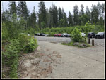 Lot Is Mostly Full |
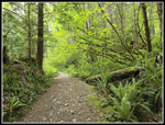 Very Green Trail |
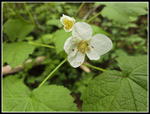 Thimbleberry Flower |
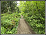 Road Is Now Trail |
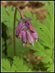 Bleeding Hearts |
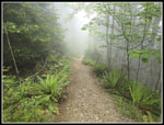 Entering The Clouds |
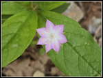 Starflower |
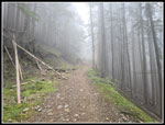 More Like A Road |
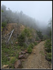 Steep Rocky Slope |
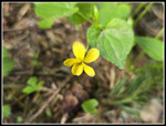 Yellow Violet |
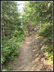 Above The Clouds |
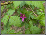 Salmonberry Flower |
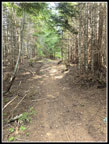 On Si Spur Trail |
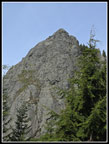 Si Haystack In Sight |
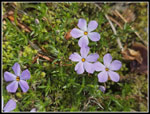 Pink Phlox In Basin |
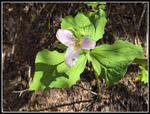 Pink Trillium |
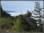 Hikers On Rocks |
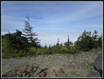 Above Clouds/Fog |
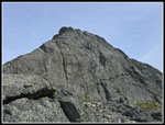 The Haystack |
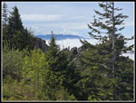 Rattlesnake Mt.? |
 Towers In The Clouds |
 More Phlox More Phlox |
 Climbing Out Of Basin |
 Near High Point |
 Mt. Si Junction Sign |
 More Bleeding Hearts |
 Lots Of Yellow Violets |
 Entering The Clouds |
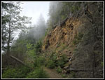 Rocky Wall Again |
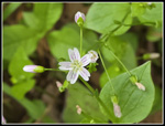 Spring Beauty |
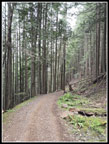 Open Forest |
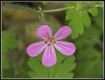 Herb Robert |
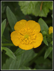 Buttercup |
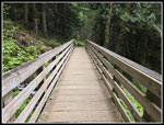 Big Bridge On Flats |
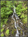 Small Waterfall |
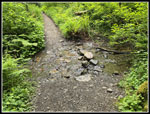 Rock Hop |
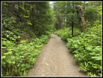 Thimbleberry Bushes |
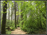 Almost At Trailhead |
Trips - 2026
Home