Day 2
Day
2
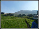
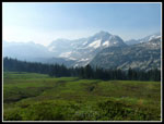
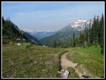
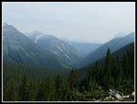
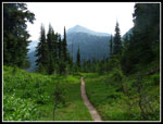
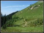
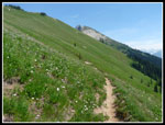
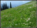
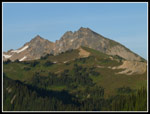
We woke to some smoke coming over the ridges to the east and south. The trail to Cloudy Pass starts in forest but quickly climbs out into meadows. Some wildflowers in bloom. The smoke continued to drift to the west. We debated scrambling up Cloudy Peak. Gary and I did so on our earlier visit. The summit was more and more in the smoke. Lots of mountain peaks in sight but the haze did not do much for photography. We stuck mostly to the meadows for our photos. Reaching Cloudy Pass provided views out to the west. Plummer Peak is across the way at the end of Miners Ridge. It was covered in smoke. After a great first day it was looking like the rest of the trip might not be so great. We chose not to head up Cloudy Peak as there was not much to see. We hoped for less smoke farther west that day.
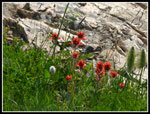
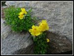
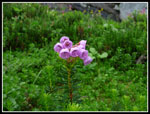
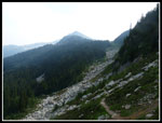
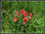
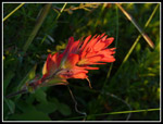
The trail drops down the west side before splitting. The horse route to Agnes Creek and Suiattle Pass drops farther. The hiker only short cut drops a little then climbs over to the pass. As we headed west I noticed a headwind. Huh? Wind blowing from the west. Perhaps it would clear up after all. The route is narrow and crosses a rocky slope. We found some good wildflowers in bloom along here. They included the not often seen yellow Tilings monkey flower. We saw a great deal of the pink Lewis monkey flowers along our loop. It was already warm enough at Suiattle Pass for me to zip off my pants legs. We took a break here. Now on the Pacific Crest Trail the going was easier. On the entire maintained trail part of the trip we saw very few logs across the trail. The route was in fine shape. A short ways along we met two folks hiking the PCT from Steven Pass to Lake Chelan. They turned out to be the last folks we saw for more than 24 hours. Who says this loop is crowded?
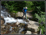
At the junction of the PCT and Miners Ridge trials we turned right. The PCT drops down and our route was much more level. Still lots of water in the small creeks and one big one larger one. That one was a little harder to rock hop though we all made it with dry feet. The few downed trees we encountered were mostly at this end of the Miners Ridge trail. Gary was quick to spot the top of the old PCT that climbed from Miners Creek to Miners Ridge. In 2005 we started up this trail before losing it and bushwhacking the rest of the 1000' up. On this trip we planned to try following it down from Miners Ridge. A few minutes later we reached the junction with the route up to Image Lake. The heat was getting to me and I slipped a little behind. It was now mostly forest as the trail switchbacked higher.
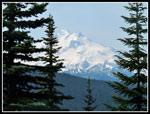
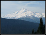
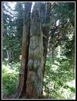
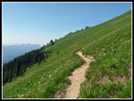
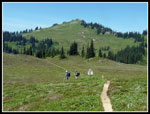
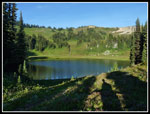
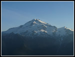
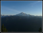
The trail leaves forest and enters the long open meadows of Miners Ridge. We took a short side trail to Lady Camp for a break. After looking all around John found the carving of the Indian maiden. Now nearly a century old the tree is not in great shape. The next 1 1/2 miles to Image Lake is out in the open. The meadows are not at peak but there were a lot of wildflowers in bloom. Glacier Peak is just across to the south. It was a little hazy but not as much as it was in the morning. The trail passes another trail to Canyon Lake then drops down towards Image Lake. We headed straight for the campsites below the lake. We had our choice as there was nobody else in the area. We managed to shoehorn all three tents into one spot. Running water was nearby.
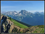
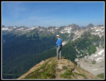
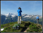
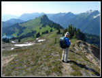
I knew there was no way I was climbing the ridge behind Image Lake and following it all the way to Plummer Peak in the afternoon heat. Besides, we did it last time. I was up for a trip to the ridge top. With much lighter packs we headed back up the trail. Rather than go cross country through the meadows we backtracked to the Canyon Lake trail. That goes to a saddle behind Image Lake. Our goal was rounded Point 6922. It added nearly 1000' of elevation gain to our day. The views improved as we climbed. Still a little haze but the day continued to clear out the smoke. Great view from the flower filled summit. Also the worst bugs of the trip. They swarmed us. I put on my rain jacket though it was quite hot. There was a little breeze but not enough. We arrived on top at about 3:20 pm and stayed until 4:40 pm. The views were so much better than back at camp. We put up with the bugs.
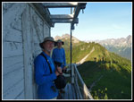
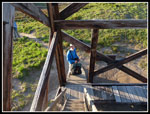
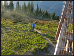
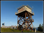
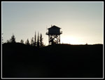
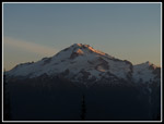
Canyon Lake across the valley to the north still had some snow around it. We could see Dome Peak. We could also see all the way to Three Fingers to the west. Peaks to the east were still very smoky. We arrived back at camp at 5:35 pm, just in time for dinner. Last time we were invited out to the lookout by the volunteer lookouts for sunset views of Glacier Peak. We chose to head back to the lookout this time too. The mile to the lookout went by fast taking about 25 minutes. All the shutters were down. No volunteer lookouts this time. Just for fun I climbed the ladders and found the catwalk was closed. It was not locked. A lot of push and it opened. We had our views from the catwalk. Some great views as the sun began to set. We left in time to make it back to camp before total darkness. The toilet with the great views of Glacier Peak in 2005 has been moved. The views are no longer of Glacier Peak. After a lot of morning smoke, day two turned out to be a great success.
For the day I hiked 12.2 miles with 3200' of elevation gain.
<< Photo Page >>
Spider - Buck Report
Home
