Day
3
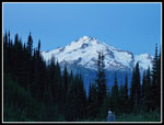
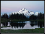
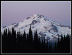
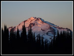
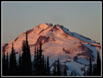
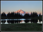
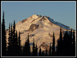
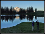
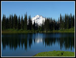
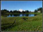
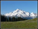
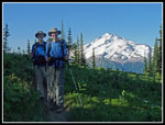
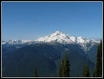
After two days of heading away from the start we began two days of hiking back towards the end of the loop at Trinity. The easy way to Buck Creek Pass from Image Lake would be to retrace our route to the PCT and then drop down to the trail over Middle Ridge. The more interesting and shorter route would be to try to follow the old PCT to the Middle Ridge trail. We failed to follow it up in 2005. This time we would attempt to follow it down. It was, after all, the Crest Trail at one time. First things first. One of the must do items on a hike to Image Lake is to climb up to the back of the lake at sunrise to photograph Glacier Peak above the lake. We arrived at the lake just before sunrise and found enough breeze ruffling the water to rule out any reflection shots of Glacier Peak. What we did have was a clear sky with no smoke. We were very pleased with the conditions. We spent at least half an hour at the lake.
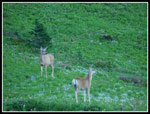
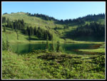
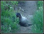
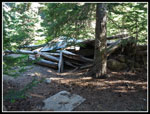
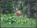
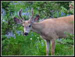
We broke camp and were on our way by 7:47 am. We went back to the lake and walked around it once again. Next we began the climb out of the lake basin. On the way up we encountered a bunch of marmots. One in particular stuck his head out of his hole right next to the trail and posed for us. We kept seeing deer and marmots all along the trail. Many seemed to be posing just for us. The morning light on the long open meadow was especially nice. Hiking was easy in the cooler morning air. We stopped for a break just after reaching the Miners Ridge Trail at the old mining shacks. Or at least what's left of them. Here again a deer dropped by to pose for us. My pack was below us on the trail and the deer seemed scared to death of it. Three hikers were no problem but a backpack on the side of the trail was scary. The deer just looked at it and tried to figure a way around it. Finally we had to go and spooked the deer.
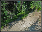
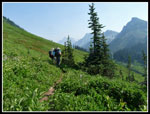
Just a few minutes later we reached the upper end of the old Crest Trail. Gary's old 1944 map showed the trail making a few small switchbacks but generally heading down the slope. We started down the trail to find out that it made many longer switchbacks. The trail was overgrown by decades with no maintenance but in surprisingly good shape. We had few problems following it. There were a number of logs down which was no surprise. I zipped on my long pants to try to minimize the scrapes and cuts. Part way down we looked at the map and the GPS track. The old trail on the map went right between the ends of the switchbacks. Longer but right on the old route.
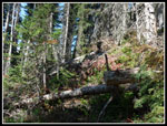
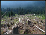
We figured we were home free after dropping 700' of the 1000' down to Miners Creek. It turns out our fun was just beginning. We came to a huge jumble of downed trees. No easy way to go below it. We climbed up slope a bit and had a better view. It was a huge avalanche swath hundreds of feet across. Trees were down all over the place. The forest on the other side looked to e a long ways away. Nobody wanted to climb back up 700' and take the much longer trail around. We decided that the best hope was to go back a ways and drop down alongside the swath. Unfortunately, it looked like it might go all the way down to the creek. We picked our way through some brush and slide alder and then some wet grass. An opening led over to the swath once again.
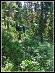
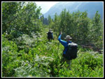
We cold see an opening that would get us part way across. We headed that way. The meadow was mucky, full of holes, and had many trees to avoid. The brush was waist high making it hard to see the holes in the ground. The route worked as we managed to get across the whole avalanche swath. On the other side we had some easy travel that led to a seeming dead end. Small trees and twelve foot tall brush blocked every direction. I pushed on through and managed to climb out to another meadow. This did lead us down to the creek. The last 300' vertical feet took us nearly an hour to descend. Most of the old trail is in good shape but the avalanche swath would have to have a lot of work done to reopen the short cut trail.
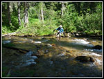
Miners Creek was running fast. Gary tromped across while John and I took off our boots and waded in bare feet. It was about knee high at the deepest though fast running. We ate and pumped water at the old Miners Creek camp on the south shore. It was really buggy at the creek. Each day would be hotter and this day was already hotter than the two before. Now we had an 1800' climb up Middle Ridge, a drip to Small Creek, and then an 850' climb to Buck Creek Pass. The elevation gain was back loaded this day. We hiked the old Crest Trail up to the new PCT. Straight across and we were on the trail to Middle Ridge. The first part was in forest at a steady moderate grade and the going was fine. Higher up the trail left forest and it was very hot. Almost no breeze at all. I was not in good shape when we reached the top of the ridge. It was time for another break.
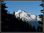
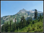
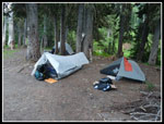
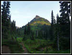
We soon headed downhill on good tread. From 6240' we dropped down to 5150' at Small Creek. The creek was running fast but a log allowed us to cross with dry feet. Now came one final climb. From 5150' up to 6000' just above Buck Creek Pass. More forest gave way to short switchbacks up a grassy gully. It was really hot now. I was very pleased to reach the top. One thing was clear on the hike up. The sky was not nearly as clear. Where we had a view of Glacier Peak the haze made it nearly invisible. Nothing at all like the clear view we had in the morning. We dropped down to the camping area at the pass and took the first big site on the left. Plenty of room for all our tents.
In the evening we found more deer that did not seem to mind having us around. Many more photos were taken. There was one other group at the pass. They had about four tents. The first people we saw since early the day before. We had nobody else at Image Lake on a Saturday night and one other party at Buck Creek Pass on a Sunday night. Not bad for solitude. We went to bed at darkness after a long but very interesting day.
For the day I hiked 11 miles with 3200' of elevation gain.
<< Photo Page >>
Spider - Buck Report
Home
