4-23-17
Yet
another overcast wet weekend.
Kim wanted to get out and so did I. We chose a couple trails in the
Rockport - Darrington area. I met Kim at 7:30 am and we headed north.
Traffic was light up to Highway 20 and a little farther to Cook Road.
This shortcut brought us to Highway 20 at Sedro-Woolley. The rain was
not supposed to arrive until around 11:00 am. We just missed one
squall. We arrived at Rockport State Park at 9:20 am. Discover Pass
required. There were just a couple cars in the lot. I have been by the
park on many occasions. While there are about 5 miles of trails in the
park that is not generally enough for me with such a long drive
involved. I had never hiked there before. The campgrounds have been
closed for several years due to big trees in danger of falling on
campsites. And there are some very big trees in the park. That is a
prime reason to visit. We chose to hike around the perimeter of the
park north of the highway. The look is about three miles. We were
packed and on the trail at about 9:30 am.
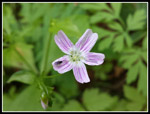
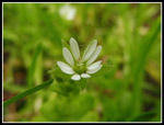
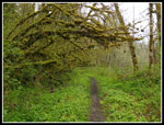
One nice feature is that most all the junctions have maps that show just where you are. It is hard to get lost. Along with the big trees are a lot of spring wildflowers in bloom. That is another reason to accept the short hike. We saw most all the early flowers I have seen here and there the past month. Lots of most all of them. Even a few I did not expect to see this early. Early is also a relative term. The past two winters were so mild that the wildflowers were very early. This year is at least several weeks behind. The timing is more normal long term.
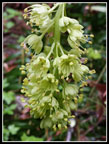
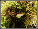
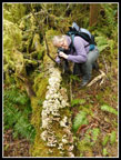
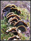
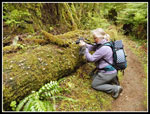
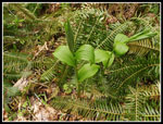
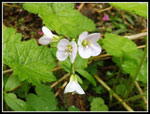
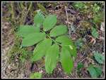
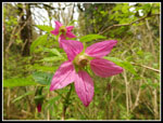
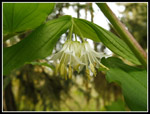
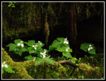
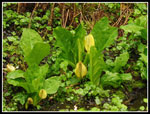
We saw salmonberry flowers early and often. All the way around the loop. Trillium also were all along the trail. Down low the trillium were nearly finished. Farther up and away from the highway they were right at their peak. Yellow violets were in small groups and in profusion elsewhere. Skunk cabbage was all over. There are a number of creeks running along the route and lots of skunk cabbage. We also saw some red currants in bloom. One unexpected sighting was false Solomon's seal. The flowers were just starting. Lots of vanilla leaf and false lily of the valley though not blooming just yet. Add in a whole lot of interesting fungus and we had plenty of stop and photograph. For west side spring wildflowers both hikes this day were homeruns.
The trail has only about 350' of elevation gain. Some uphill but not very much. We met two hikers early and two more near the end. They represented two thirds of all the hikers we saw all day long. We had a whole lot of solitude this day. Not bad for short hikes right off highways. A number of times we had a little short drizzle then it would stop. Not at all the rain expected. I carried my umbrella but did not bother to take it out all day. The trail was in fine shape. It has been logged and there was not as much mud as expected. Only a few mucky spots. The first part is an ADA trail built for disabled hikers. It is wide and graveled and has signs with information about the forest. Great for small kids too. After that the trail is narrower and all dirt.
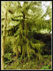
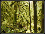
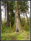
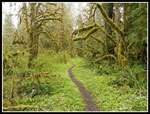
There are not a lot of places, especially easily accessible ones, that have so many big trees. Groves of 5-7' wide Douglas fir, cedars and others. A real treat for old growth tree lovers. We made very slow progress. Very slow progress. It was about 12:50 when we returned to the car and had lunch. Next we headed south of the highway to a set of loop trails. The trails are one mile in length. Getting there and back added almost half a mile. This area had the largest tree we saw all day. One big cedar tree. We saw a flower that looked like a spring beauty but not exactly. We debated what it was and a little farther along we saw it again mixed in with spring beauty. That settled the debate. I had seen no signs of spring beauty anywhere else this year. We also saw some blooming Hooker's fairybells. That was also unexpected. It quickly became clear that we were well above the Skagit River. There are two points with benches that look through the trees and down the forested bluff to the river.
After that trail we headed back to the car and planned the rest of the day. Time to head for Darrington. We encountered a little rain as we headed south. Again there was almost no traffic. Beaver Lake would be our next and last trail of the day. Back in late April 2009 Kim took me for my first visit to this trail. It had been washed out. We scrambled down one washout to river level and climbed back up. We scrambled down another one and gave up part way along. We only made it one mile down the trail. I remembered all the spiring wildflowers. I was up for another visit. Right opposite the Whitechuck boat launch we found the trailhead. Back in 2009 it was a short dirt road to a dirt parking area. Now there is a graveled lot closer to the highway with a signboard and bathroom. We started out at nearly 4:00 pm. Time really flew by this day. Unfortunately, my watch managed to get an hour behind. I though it was 3:00 pm.
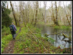
The trail drops a little to an old railroad grade. At the start the grade is slightly closer to the Sauk River. Old wooden pilings are still there. We saw lots of salmonberry and trillium in bloom. There is drop to the river on one side and a drop down on the other side. Kim chose to climb down on the left to a grove of blooming trillium. Drizzle dripped on us once again but soon it stopped as it did each time. Earth Day was just the day before and it was quickly clear that a crew was out working on this trail. Lots of drainage work was very recent. It did not take long to reach the skunk cabbage. This trail is infested with them. It seemed like they were everywhere. Good thing we are big fans. Before long the depression on the left side of the grade turns to a steep hillside.
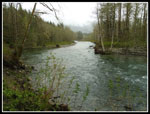
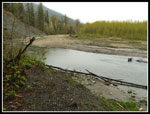
We did take a very short side trail that goes over to the river. Nice views of the water though looks out to Bedal and Sloan Peaks were lost in the low clouds. When we reached one short washout steps had been placed to get down and up. No problem. Farther along we reached the first washout from 2009. Now it is a ramp down but not down to river level. A trail has been cut in the hillside. It soon ramps back up again. A major improvement in the trail. I'm not sure where the second washout that stopped us in 2009 is located. It did not recall it until getting home and reading my earlier report. We had no more trail problems at all. The trail did have some muddy spots but it was not as bad as I expected after the wet winter we have had. Trail work had made this a family friendly trail once again.
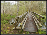
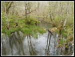
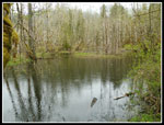
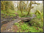
The trail continues with minimal elevation change. This time I made it to Beaver Lake. The lake is really a series of beaver ponds with dams between them. Multiple levels of ponds. A fairly long bridge crosses over the "lake". I later read that the bridge uses some of the old railroad supports. Just after the lake is a grove of big cedar trees. Kim was especially happy to see them again. Another third of a mile brought us to the end of the trail - literally. The river moved across the valley and took out the trail and all dirt up to a sheer rocky slope. There is no easy way to continue. We saw most of the route as the old trail climbed back up to the highway a short ways farther. All of that took us just under two miles down the trail. The two miles heading back went faster as we took a lot fewer photos. In just under an hour we were back at the car. I thought it was 6:25. It was really 7:20. On the Beaver Lake trail we met one couple. That brought the total to six other hikers seen all day.
Our totals were about 8+ miles hiked with 500' of elevation gain. Before heading home we stopped in Darrington for dinner. The Four Corners Cafe has recently opened. It is located right where the Mountain Loop Highway meets Highway 530 heading back to Arlington and I-5. The food was good. I'll stop there again. They have lots of sandwiches and ice cream for hikers on hot summer days. I'm glad to see more new businesses opening up in Darrington. It was tough on them when the Suiattle and Whitechuck roads washed out and stayed that way for over a decade. We ended up with a reasonable amount of miles hiked and very little elevation gained for the day. We did see see enough old growth trees and spring wildflowers to fill up a week of hikes. The biggest surprise is then it was dark at 7:30 pm and I realized my watch mistake. I did not get home until 9:40 pm but it was a long and fun day on the trails.
Trips - 2017
Home


