10-26-14
The
Suiattle River Road washed out
at Downey Creek 11 years ago. The last two miles of the road had to be
walked to reach the Suiattle River Trail, Sulphur Mountain Trail, and
Sulphur Creek Trail. The bridge to the Milk Creek Trail also washed
out. Three years later the road washed out 11 miles from the end. For
the last eight years the Suiattle River Trail has only been available
to those willing and able to hike or bike 22 miles round trip to reach
the trailhead. Green Mountain, Sulphur Creek, Downey Creek, and Sulphur
Mountain all required 18 or more miles of road to reach their
trailheads. In that time I hiked with friends to the end of the road
for a trip up the Suiattle to Milk Creek and along the river to the
remains of the old steel bridge then up the Sulphur
Mountain Trail.
Another trip returned to Sulphur
Mountain. Three trips (I,
II,
III)
went up Green Mountain via the old trail from Downey Creek. That one
was abandoned some 50+ years ago. All the trips required one or two
nights out. I enjoyed the solitude but wished the trips were open to
more hikers and backpackers.
Fast forward to late October 2014. The road has finally been repaired. Kim, Gwen, and I had to take a hike up the Suiattle on the opening weekend. Kim and Gwen were in town for the opening festivities on Saturday. Kim stayed in town. I met Gwen on Sunday morning and we headed back to Darrington to pick up Kim. Check. The three of us headed north to the Suiattle. The road has been moved farther inland in several places. One only sees the river in a few places. On each trip to Green Mountain we camped at Downey Creek the first night. Since the bridge abutment was missing, a steep ramp was in place to get up onto the bridge. On the 2014 trip the ramp was gone for construction and a ladder was in place I was interested to see how the new bridge met up with the old concrete portion. The 180 feet of new bridge fits right into the old bridge. The start of the old Green Mountain Trail was not harmed by the construction. It's still there for future explorers.
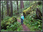
Beyond Downey Creek the road had become a narrow track surrounded by tall brush. Eleven years of closure in a wet river valley can do that. Now it just looks like a gravel road once again. The Sulphur Creek Campground is still a mess. Trees are growing on the loop road and in all the campsites. It may take another year to have it ready for campers once again. The parking lot at the end of the road also had many trees growing in it this summer. It now just looks like a parking lot. We parked, met some friends, and started up the trail. The misty weather was fitting for the Suiattle River. All the moss along the trail confirms that wet and rainy is the norm for fall through spring.
This was my first time driving to the end of the road. Beyond Milk Creek I had never seen the trail. Next year I will need to set aside a few days to see much more of it. The trail is in good shape. We had a few trees to get over or under but the first three miles are in fine shape. Some trail work was done over the last few years though construction meant almost none this year. A short way up the trail we ran into Lexi and his family. Lots of friends were out on the trail this day. We stopped at Milk Creek to drop down to the river. With all the recent rain it was muddy and a little higher than summer but nowhere near flooding. I will be glad when the bridge to the Milk Creek Trail is replaced. A trail through huge old trees that I have never had the pleasure of hiking.
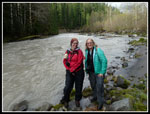
Back on the trail we passed a section where the 2003 floods took out the trail. It was moved higher on the slope. Bits of the old trail can be seen below. Bits of it are now in the river. The route is an excellent fall hike as it starts at only 1600' and gains elevation very slowly. Some years it is snow free well after higher trails are under snow. At about two miles we dropped down to a flat sandy spot nearer the river. A good place for lunch. Part of our group went another mile down the trail and met us here on their way out. We met Brian, a hiking friend, here too.
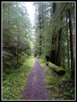
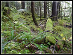
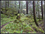
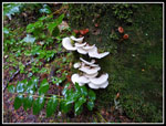
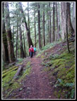
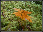
On the way back I admired all the moss. Trees, boulders, and much of the ground is buried under a layer of green. The trail is just a narrow band of brown through all that green. There are a few areas with deciduous trees that sported lots of yellow leaves. There was a lot to photograph on this gray overcast day. There were also a number of mushrooms and fungi along the way. One fungus was huge. Many photos were taken. Though the sky was mostly gray and there was a little light drizzle we did not have much rain. I never did take out my umbrella. All too soon we were back at the trailhead. It was nice to not have an 11 mile bike ride still to go.
This day was just a taste of what the Suiattle River Valley has to offer hikers and backpackers. I need to visit Sulphur Mountain on a totally clear day when all of Glacier Peak is out of the clouds. I am zero for two so far. I need to hike Milk Creek. That one will take another few years to get a new bridge in. I have yet to hike Downey Creek or Sulphur Creek. So much to do. Now that the road is in I will hike all of those trails in the near future. Eleven long years and the Suiattle is back open for hikers.
Click on thumbnails to get
larger pictures.
Trips - 2014
Home
Fast forward to late October 2014. The road has finally been repaired. Kim, Gwen, and I had to take a hike up the Suiattle on the opening weekend. Kim and Gwen were in town for the opening festivities on Saturday. Kim stayed in town. I met Gwen on Sunday morning and we headed back to Darrington to pick up Kim. Check. The three of us headed north to the Suiattle. The road has been moved farther inland in several places. One only sees the river in a few places. On each trip to Green Mountain we camped at Downey Creek the first night. Since the bridge abutment was missing, a steep ramp was in place to get up onto the bridge. On the 2014 trip the ramp was gone for construction and a ladder was in place I was interested to see how the new bridge met up with the old concrete portion. The 180 feet of new bridge fits right into the old bridge. The start of the old Green Mountain Trail was not harmed by the construction. It's still there for future explorers.
Beyond Downey Creek the road had become a narrow track surrounded by tall brush. Eleven years of closure in a wet river valley can do that. Now it just looks like a gravel road once again. The Sulphur Creek Campground is still a mess. Trees are growing on the loop road and in all the campsites. It may take another year to have it ready for campers once again. The parking lot at the end of the road also had many trees growing in it this summer. It now just looks like a parking lot. We parked, met some friends, and started up the trail. The misty weather was fitting for the Suiattle River. All the moss along the trail confirms that wet and rainy is the norm for fall through spring.
This was my first time driving to the end of the road. Beyond Milk Creek I had never seen the trail. Next year I will need to set aside a few days to see much more of it. The trail is in good shape. We had a few trees to get over or under but the first three miles are in fine shape. Some trail work was done over the last few years though construction meant almost none this year. A short way up the trail we ran into Lexi and his family. Lots of friends were out on the trail this day. We stopped at Milk Creek to drop down to the river. With all the recent rain it was muddy and a little higher than summer but nowhere near flooding. I will be glad when the bridge to the Milk Creek Trail is replaced. A trail through huge old trees that I have never had the pleasure of hiking.
Back on the trail we passed a section where the 2003 floods took out the trail. It was moved higher on the slope. Bits of the old trail can be seen below. Bits of it are now in the river. The route is an excellent fall hike as it starts at only 1600' and gains elevation very slowly. Some years it is snow free well after higher trails are under snow. At about two miles we dropped down to a flat sandy spot nearer the river. A good place for lunch. Part of our group went another mile down the trail and met us here on their way out. We met Brian, a hiking friend, here too.
On the way back I admired all the moss. Trees, boulders, and much of the ground is buried under a layer of green. The trail is just a narrow band of brown through all that green. There are a few areas with deciduous trees that sported lots of yellow leaves. There was a lot to photograph on this gray overcast day. There were also a number of mushrooms and fungi along the way. One fungus was huge. Many photos were taken. Though the sky was mostly gray and there was a little light drizzle we did not have much rain. I never did take out my umbrella. All too soon we were back at the trailhead. It was nice to not have an 11 mile bike ride still to go.
This day was just a taste of what the Suiattle River Valley has to offer hikers and backpackers. I need to visit Sulphur Mountain on a totally clear day when all of Glacier Peak is out of the clouds. I am zero for two so far. I need to hike Milk Creek. That one will take another few years to get a new bridge in. I have yet to hike Downey Creek or Sulphur Creek. So much to do. Now that the road is in I will hike all of those trails in the near future. Eleven long years and the Suiattle is back open for hikers.
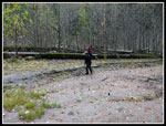 Lunch Time |
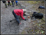 Buried |
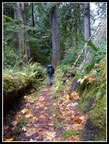 Leafy Trail |
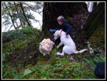 Sitting In Motion |
Trips - 2014
Home


